Tank Services Across Birmingham
Local context is useful. The exact entrance, fuel system and working area make the plan.
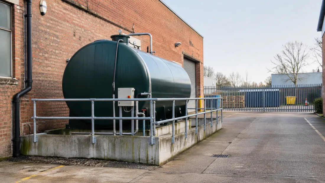
Tell Us Where The Tank Actually Sits
We welcome commercial enquiries from Birmingham and the nearby areas below. Coverage for a particular project is confirmed through the enquiry, including the service needed and access. The place descriptions are planning context, not claims of premises, previous work or fuel storage at any named organisation.
Aston
Aston includes the Advanced Manufacturing Hub beside the M6 at Spaghetti Junction and the A38 Aston Expressway. For a manufacturing-site enquiry, describe the final approach from the main road to the tank, including yard turns and deliveries that must continue. Road connectivity is useful context, but it does not establish a safe lifting position inside the premises.
Aston development frameworkWitton
The council identifies Witton’s Food Hub as an economic zone, while its Aston area plan describes the Tame Road industrial area and nearby River Tame flood considerations. Send your own drain information and any relevant flood or environmental plan. For occupied production and distribution premises, identify hygiene controls, shared vehicle routes and the periods when fuel-handling equipment can be brought in.
Aston, Newtown and Lozells area planTyseley
Tyseley’s Environmental Enterprise District is an industrial area crossed by the Grand Union Canal, with the A45 serving the district. Identify the exact entrance rather than relying on the estate or district name. Where a tank is near drainage or a water corridor, the assessment needs the specific spill pathways and working area, not a general assumption based on the district.
Council district descriptionDigbeth
The council’s Digbeth study describes compact industrial plots, older warehouse complexes and railway viaducts, with the River Rea and canal routes running through the area. For tank work in converted premises, send internal route photographs as well as the external yard. Building alterations and access through shared spaces need agreement before a removal method is fixed.
Digbeth planning studyJewellery Quarter
The Jewellery Quarter neighbourhood plan records the canal corridor and the Farmers Bridge lock flight, alongside historic canal arms. For an older commercial property, available drawings may help explain routes and concealed services. Identify the actual tank position and whether access or making good affects protected fabric, so the property manager can establish any permissions needed before intrusive work.
Jewellery Quarter neighbourhood planSelly Oak And South Edgbaston
The Birmingham Development Plan places Selly Oak and South Edgbaston on the A38 corridor and identifies a life-sciences campus within the area’s development context. For managed institutional or commercial premises, explain how plant access and shutdown approval are controlled. Do not assume a generator or fuel tank can be released for work until the responsible facilities team has agreed continuity arrangements.
Birmingham Development PlanSmethwick
Sandwell’s corridor plan identifies industrial land in Smethwick and describes the wider corridor extending to the Birmingham borough boundary. For a unit on a mixed-use route, tell us whether loading space is shared and whether neighbouring entrances must remain clear. A removal may need a carefully reserved work area even when the equipment itself is relatively small.
Sandwell corridor planOldbury
Oldbury is part of the same industrial corridor, with M5 Junction 2 at Oldbury and the corridor extending from Langley. State the precise commercial entrance and any turning restrictions after leaving the main road. If a vehicle must stand away from the tank, the distance, intervening traffic and hose protection need assessing before equipment is selected.
Sandwell corridor planWest Bromwich
The Sandwell plan identifies M5 Junction 1 at West Bromwich and a mix of retail, commercial and residential land uses around the corridor. For occupied premises, note public access and delivery times that affect the working window. Tank preparation and lifting areas must be planned around the actual users of the site rather than the area’s motorway proximity alone.
Sandwell corridor planOutside These Areas?
Send the postcode and the service required. The location list is a starting point, and suitability for the job needs confirming. Include any gatehouse instructions, access permits and limitations on vehicle arrival times.
For any address, photograph the full route from the vehicle standing point to the equipment. Note steps, low structures, covers and areas shared with another occupier. Do not enter restricted areas or open a tank to gather information.
Send Your Site Details